
Sea level rise in Tel Aviv: risks and preparations
A coastal city must prepare for a changing sea, but a global projection is not a street flood map. Trends, scenarios and local planning are distinct.
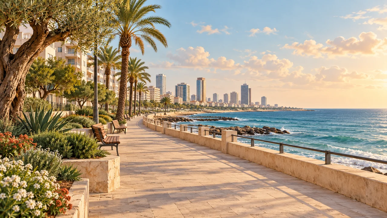
The risk is real, and the effects are local
Tel Aviv has reason to consider sea level rise when planning its future. The municipality lists it among the climate threats to the city's beaches and ecosystems. But the question is not whether the entire city will flood on a particular day. Understanding the risk requires knowing which area was examined, the period concerned and the conditions of the coastline and infrastructure. A dramatic headline about the sea can obscure the more important work: identifying where preparation is needed and which decisions are already being made.
A long-term rise and a storm are different things
A sea level that rises over time changes the baseline on which waves and extreme weather events act. IPCC reports address combined risks to coastal cities, including flooding and damage to natural systems and infrastructure. Distinguish the long-term trend from a single event: a video of a wave striking a promenade does not measure the sea level trend, and a winter without a storm does not negate it. Flooding caused by rain and drainage systems is not necessarily direct seawater intrusion either.
Why a global projection cannot answer for every address
Climate scenarios involve assumptions and timeframes, so the range and target year need to be read together. A global average does not tell you the water level in front of a particular building in Tel Aviv. Local assessment requires information on ground elevation, waves, the coastline, drainage and protective infrastructure. A map that simply colours low-lying areas can illustrate a question, but should not be treated as a complete projection on its own. Before drawing a conclusion about a property or street, check who made the map and which data they used.
Preparation starts well before the waterline
The municipal climate adaptation plan, published in August 2020, identified cooling the city and managing water as two main areas of action. The city's 2022 status document describes measures to improve infiltration, retain runoff and restore ecosystems, alongside work on coastal resilience. These are dated documents, and it should not be assumed that every planned action has been completed. A solution that helps rainwater drainage is not a substitute for assessing coastal risks either; each problem needs appropriate planning tools.
What to ask when a new plan is presented
Useful questions go beyond how much the sea will rise: what scenario and period does the plan assume, which vulnerable infrastructure was examined and how will the effectiveness of protection be assessed over time? The IPCC stresses that avoiding new development in exposed locations can reduce risk, while already developed areas require a combination of adaptation measures. Residents should follow local plans and environmental documents rather than rely on a general image online. This guide does not forecast flooding at a particular property; it offers a way to distinguish an evidence-based scientific warning from a local conclusion that still needs investigation.